Iran's Devastating Drought Crisis Seen From Space
- By RFE/RL
Satellite images of key lakes and reservoirs across Iran reveal the extent of the country's crippling drought crisis. New photos show how water levels have dropped dramatically compared to images taken a year ago. Iran's water crisis stems mainly from reduced rainfall and mismanagement of resources.
Nov 2024
Nov 2025

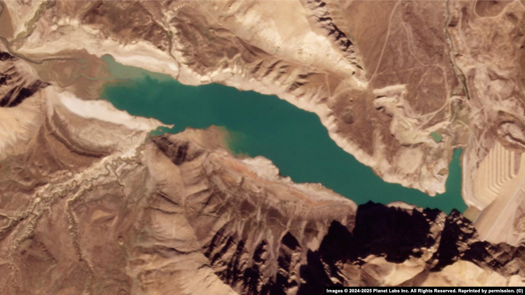
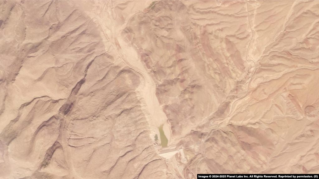
1
Lar Dam: Situated northeast of Tehran in the Alborz Mountains, Lar Dam is a key reservoir supplying drinking water to the capital and supporting regional agriculture.
Nov 2024

Nov 2025
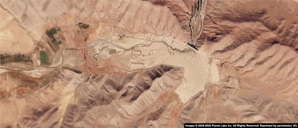
2
Latyan Lake: Located near the city of Lavasan, Latyan Lake provides vital water storage for Tehran and nearby urban areas, balancing demand in one of Iran's most densely populated regions.
Nov 2024

Nov 2025
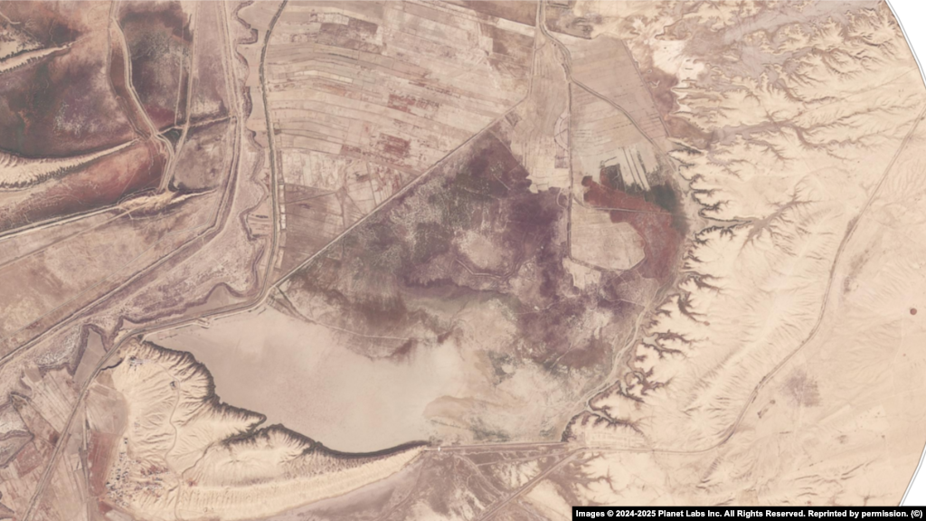
3
Sefid Rud Dam: Spanning the Sefid Rud River in Gilan Province, this dam irrigates vast agricultural lands and sustains millions across Iran's fertile northern plains.
Nov 2024

Nov 2025

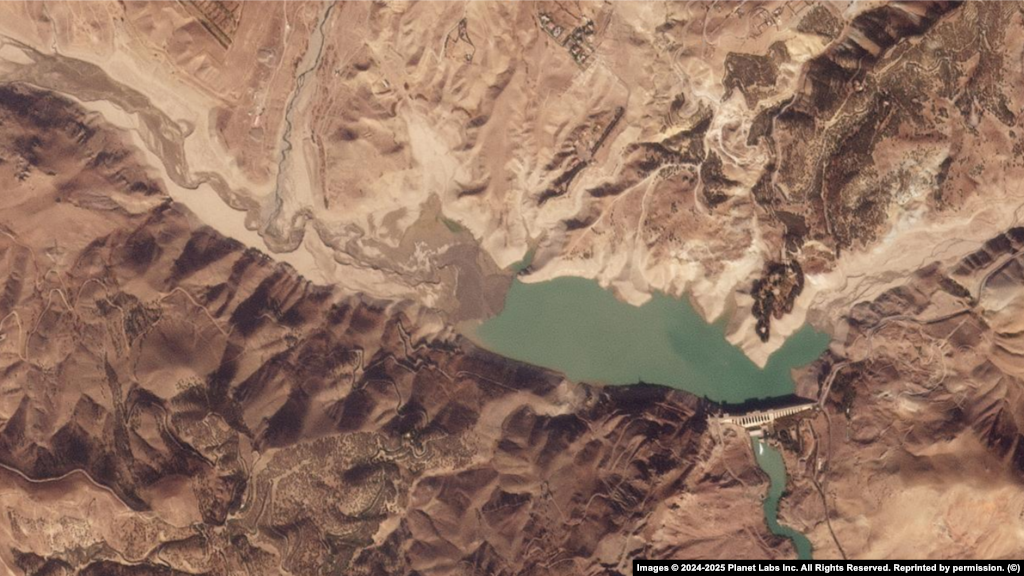
4
Amir Kabir Dam: Built on the Karaj River in the Alborz Mountains, the Amir Kabir supplies water to Tehran, generates hydroelectric power, and helps control seasonal flooding.
Nov 2024
Nov 2025
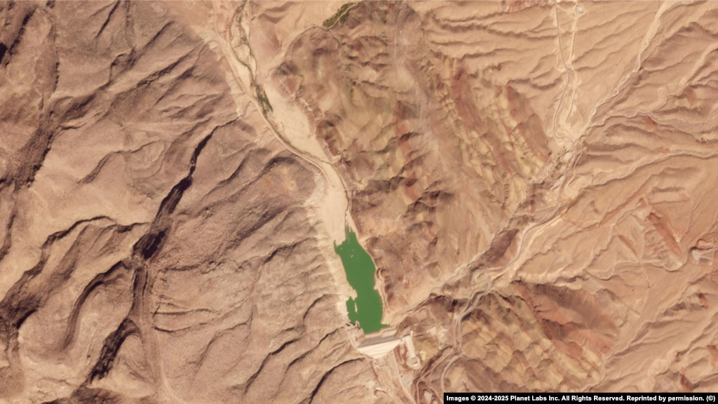
5
Rudbal Dam: Located in the southern Fars Province, the dam secures water for irrigation and local communities in an area frequently affected by drought.
Nov 2024

Nov 2025
6
Daneshmand Dam: Near Gonbad-e Kavus in Golestan Province, Daneshmand supplies water for irrigation and local consumption across Iran's northeastern farmlands. It helps regulate seasonal flows in an area prone to drought and flash floods.
Nov 2024

Nov 2025
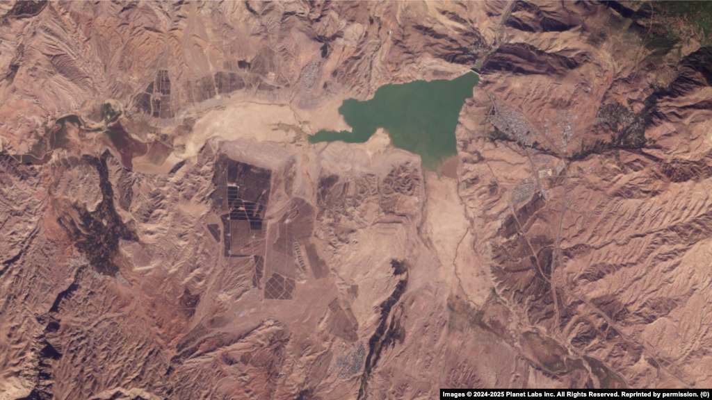
7
Fariman Dam: Near Iran's second-largest city, Mashhad, in the Khorasan Razavi Province, Fariman Dam supports both urban supply and agriculture in northeastern Iran's expanding population centers.
Nov 2024

Nov 2025

8
Lake Urmia: Once the largest saltwater lake in the Middle East, Lake Urmia's decline has threatened ecosystems and livelihoods across northwest Iran, highlighting the region's deepening water crisis.